**Researchers Develop AI-Powered System to Monitor Urban Land Use in Developing Countries**
A team of scientists has created a real-time monitoring system using remote sensing and machine learning to track urban land use in developing countries.
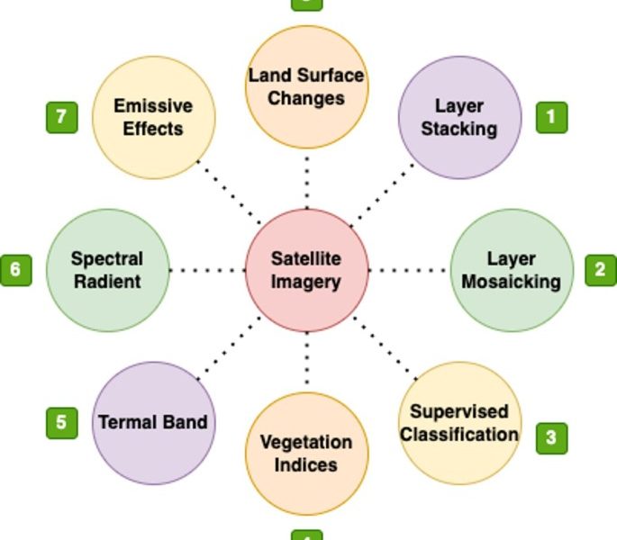
The system utilizes satellite imagery and machine learning algorithms to analyze and classify land use changes in urban areas. Researchers tested the system in several developing countries, including India and Indonesia, with promising results.
The Impact of Rapid Urbanization
Urbanization is a significant challenge facing developing countries, with cities often experiencing rapid population growth and infrastructure expansion. Accurate land use data is essential for urban planning, policy-making, and disaster risk reduction. However, traditional methods of collecting this data are often time-consuming, expensive, and unreliable.
Machine Learning to the Rescue
Researchers employed machine learning algorithms, including Random Forest and Support Vector Machine, to classify land use categories in urban areas. These algorithms were trained on large datasets of satellite imagery and were able to accurately identify categories such as built-up areas, vegetation, and water bodies.
The team’s real-time investigational approach allows policymakers and urban planners to make informed decisions about urban development, infrastructure investment, and resource allocation. This is particularly important in developing countries where cities are often growing rapidly and infrastructure is still in its early stages.
What This Means
This AI-powered system has significant implications for urban development in developing countries. By providing accurate and real-time data on land use, policymakers can make informed decisions to promote sustainable urban growth, reduce poverty, and improve quality of life for urban residents. The system’s potential to improve urban planning and disaster risk reduction also makes it a valuable tool for emergency responders and urban planners worldwide.